Reconstructing the World in 3D!
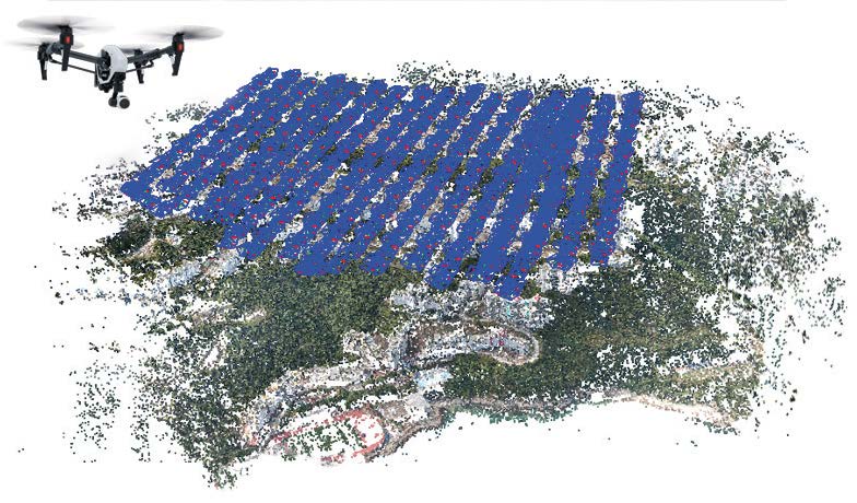
Stitching aerial photos to create 2D mapping is a thing of the past. Now, mapping in 3D is done by AI empowered processing of thousands and millions photos.
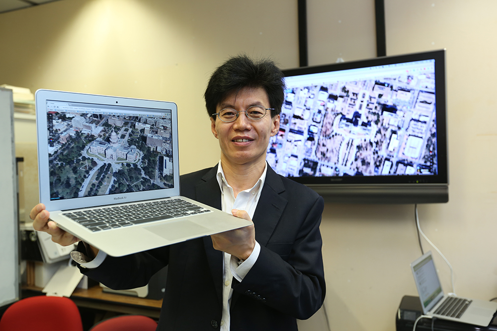
Prof Long Quan leads a team that uses photographs and deep visual learning technologies to produce complete 3D models of all types of locations on Earth. He has three decades of expertise in developing computer vision reconstruction methodologies in large-scale reconstructions of millions of photos captured from drones, and small-scale reconstructed objects of photos from smartphones. With such technology, mobile phones equipped with GPS and visual sensors can locate destinations with ease. He and his team also investigate methodologies in allowing machines to comprehend and recognize what they are seeing, so that the process can be increasingly autonomous. Their research has far-reaching implications in increasing the 3D reconstruction accuracy of assist and rescue missions.
Prof Long Quan is Professor of Computer Science and Engineering at HKUST. He is an IEEE Fellow of Computer Society and was a General Chair of IEEE International Conference on Computer Vision in 2011, and a General Chair of IEEE Computer Vision and Pattern Recognition in 2011.